Measuring Fog with Cameras
Even on the foggiest day of this historically cold San Francisco summer, the familiar sound of Waymos can be heard buzzing along the streets. How do they manage in the fog? With radar sensors that can see through it. Cameras can't do that, which is why, it's no small controversy that Tesla has rejected radar in favor of cameras (which are cheaper) for its self driving solution.
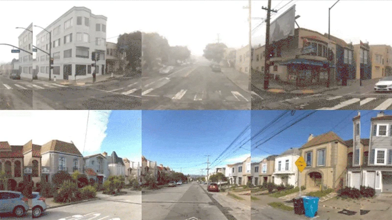
Tesla thinks they can make up the difference with software. karl.cam attempts the same. In a space where the state of the art uses lasers, karl.cam, like Tesla, leans on cameras because they are more convenient. Specifically because publicly available webcams are everywhere, making them perfect for local fog measurement. My focus at first will be on building karl.cam in Google Cloud and will therefore start by offloading the entire question of fog measurement to an LLM. But once the karl.cam system is up and running, I hope to use it to teach myself more mature image analysis approaches. Here's how I'm approaching the problem at the start.
Problem Statement:
Determine the visibility level in a set of fixed images over time.
Approaches
Ordered by increasing complexity
- 1 Ask LLM how foggy it is in a picture Current
- 2 Same but also give LLM a clear picture for reference Next
- 3 Collect images, score them with LLM, review and correct them In Progress
See admin.karl.cam
Fog Intensity Levels
The farther in meters the visibility is, the lower the intensity level. I am considering switching to meters of visibility directly.
Clear
No fog visible, clear visibility
Light Fog
Slight haze, visibility slightly reduced
Moderate Fog
Noticeable fog, landmarks partially obscured
Heavy Fog
Dense fog, visibility significantly reduced
Very Heavy Fog
Extremely dense fog, minimal visibility